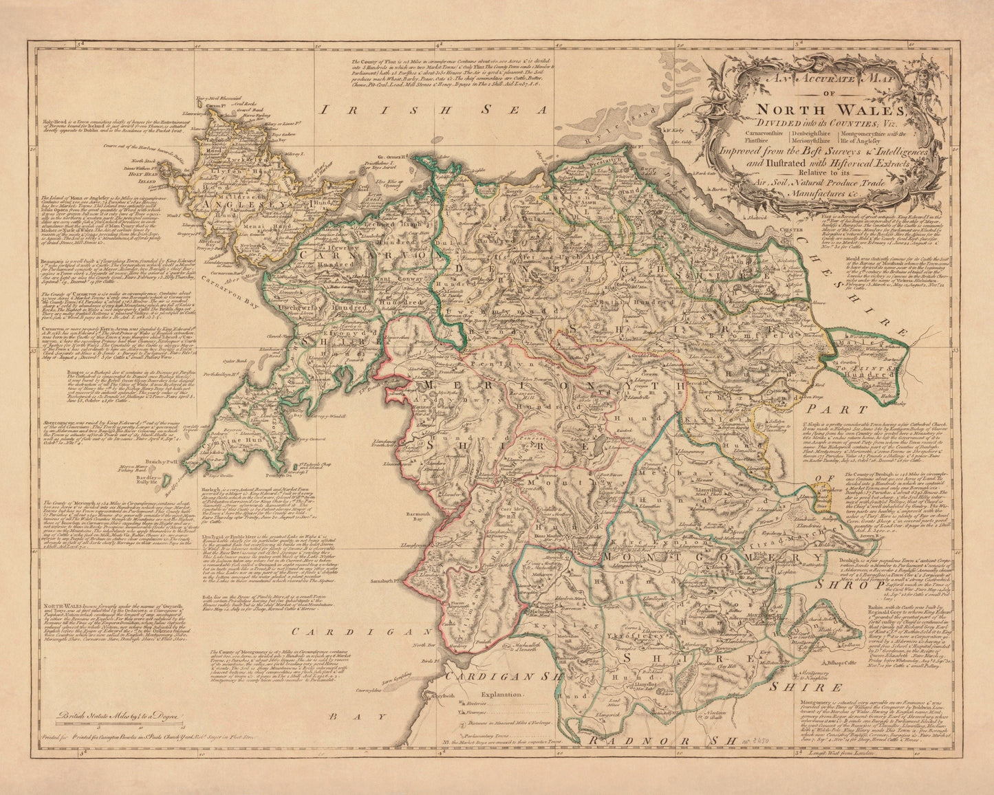
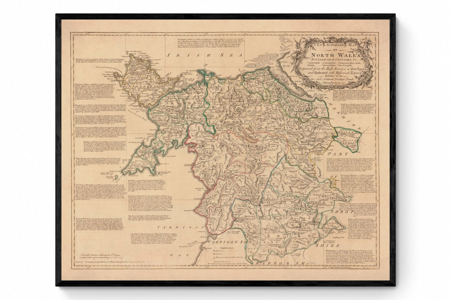
This restored antique map of North Wales Map Dated 1750 brings geographical history to life, ideal for walls, studies or thoughtful gifts.
Printed on 300gsm fine art cotton rag paper using archival pigment-based inks for superb quality and longevity.
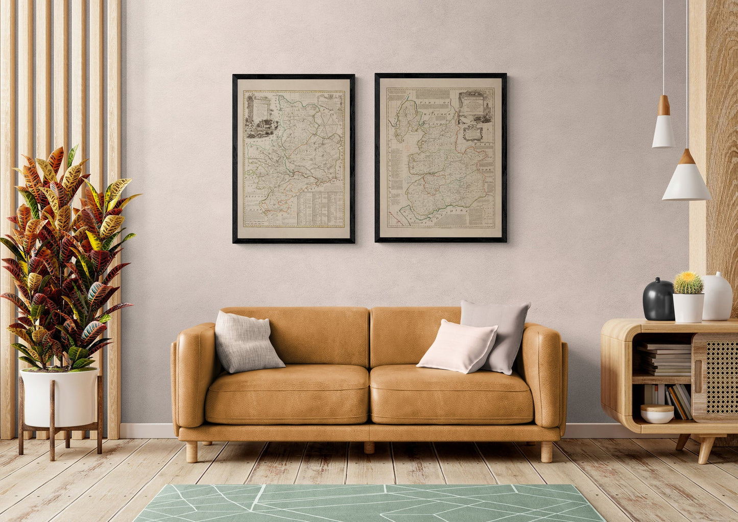
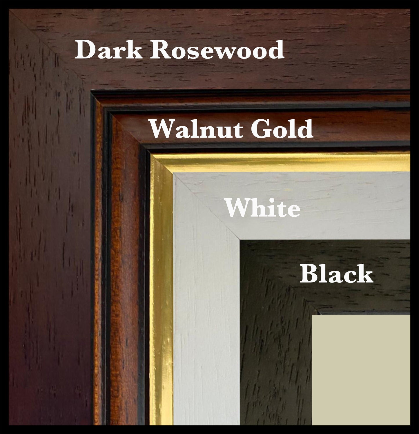
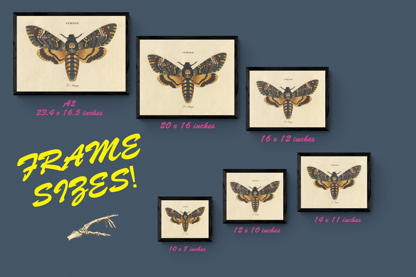
**Mounting & Framing** Mounts are antique white by default, but you may request black when ordering. Our solid wood frames are made in the UK and finished with care: - **Black/White** ¨C 20mm wide, 15mm deep - **Dark Rosewood** ¨C 35mm wide, 15mm deep - **Walnut Gold** ¨C 28mm wide, 14mm deep
Frames include perspex glazing and MDF backs. As wood is a natural material, variations in tone and grain may occur.
*Not all sizes are available mounted. Sizes refer to the print area.*