Belastingen inbegrepen.
Verzendkosten worden berekend bij de checkout.
Aantal
Kan beschikbaarheid voor afhalen niet laden
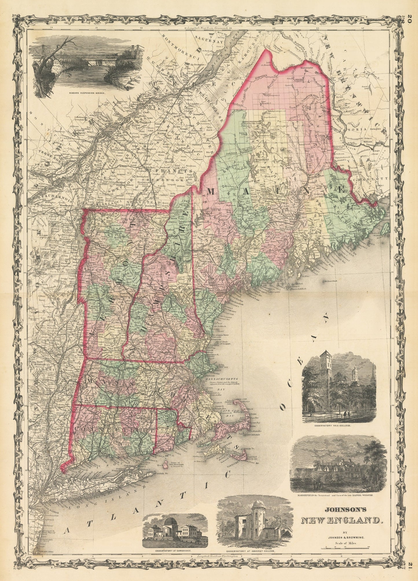
By:?Johnson and?Browning
Date of Original:?1861 (published) New York
Original Size:?25 x?18 inches (63.5 x 45.7?cm)
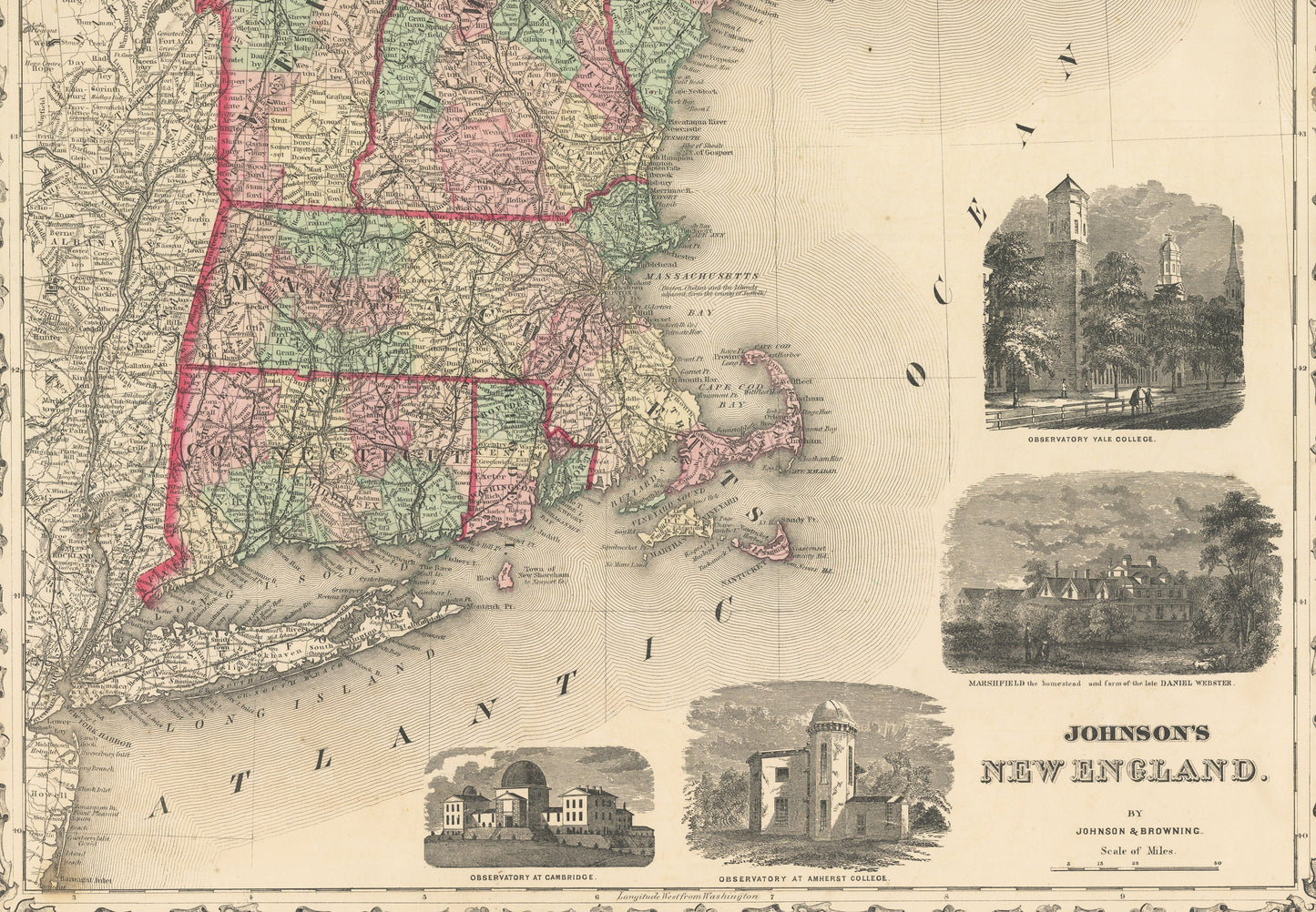
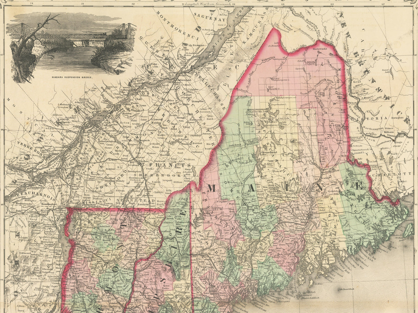
This is a fine print reproduction of a map of New England?published by Johnson and Browning out of New York in 1861. The map includes the states of Maine, Vermont, New Hampshire, Massachusetts, Rhode Island, and Connecticut.
The map is color coded by county with townships also identified and shows railroads, wagon roads, rivers, canals, ports, major cities and villages of the mid-19th century. Surrounding the map are five vignettes of a suspension bridge near Niagara Falls, observatories at Cambridge, Yale, and Amherst College, and a view of Marshfield, the homestead of the late Daniel Webster.