1
/
van
1
mysite
1856 North Carolina
1856 North Carolina
Normale prijs
£289.00 GBP
Normale prijs
£294.00 GBP
Aanbiedingsprijs
£289.00 GBP
Belastingen inbegrepen.
Verzendkosten worden berekend bij de checkout.
Aantal
Kan beschikbaarheid voor afhalen niet laden
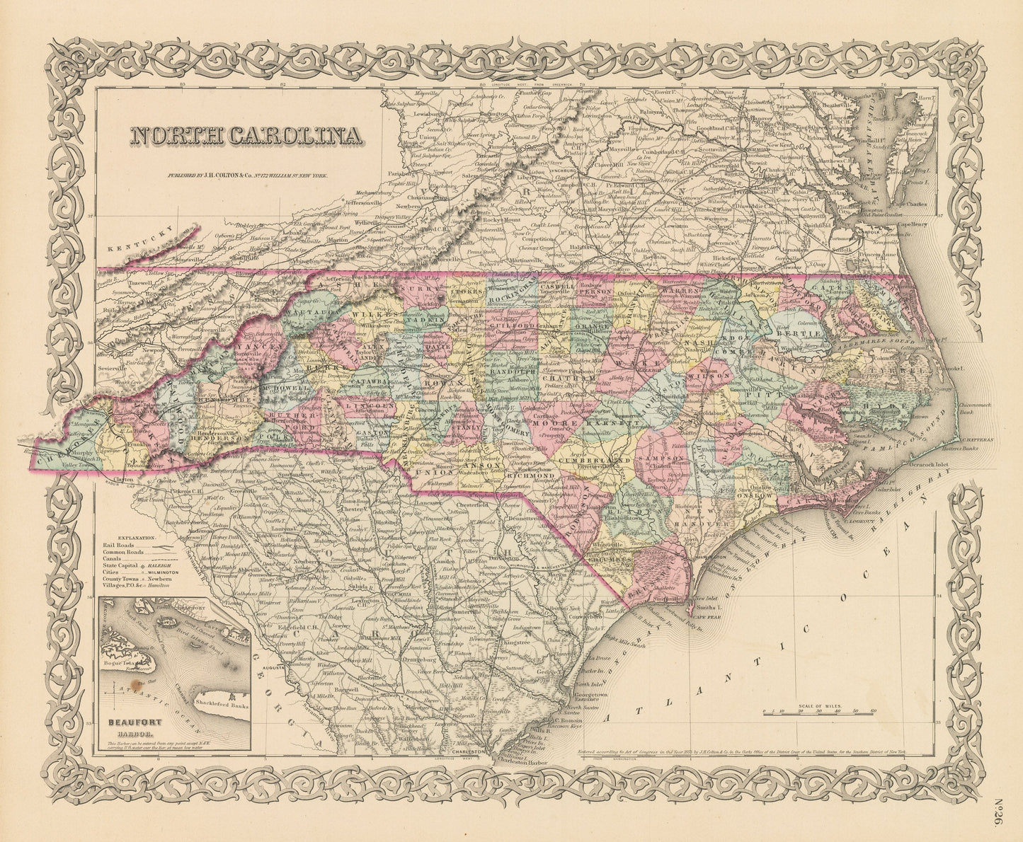
By: Joseph H. Colton
Date of Original: 1856 (published) New York
Original Size: 14 x 17 inches (35.5 x 43.2 cm)
This is a fine print reproduction of a map of North Carolina from the Appalachians to the Outer Banks, published by Joseph H. Colton out of New York in 1856. The map is color coded and shows railroads, common roads, rivers, canals, mountains, lakes, large towns and villages of the mid-19th century. A small inset map in the lower left corner shows Beaufort Harbor a?fishing village and port of safety dating from the late 1600s. Much of South Carolina and Virginia is also included in the map.
Inventory #NA125
Share