mysite
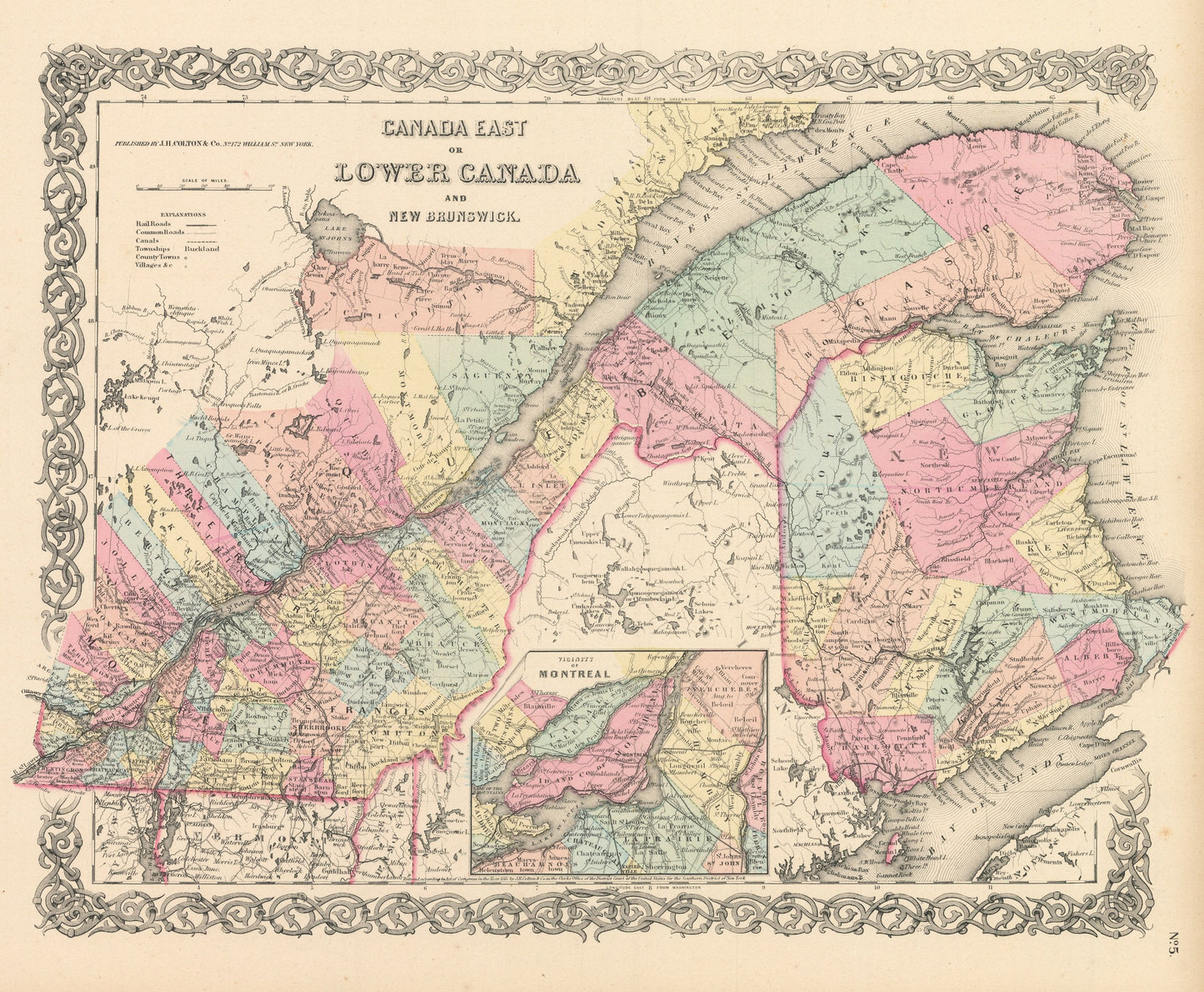
1856 Canada East of Lower Canada and New Brunswick
1856 Canada East of Lower Canada and New Brunswick
Couldn't load pickup availability
By:?Joseph H. Colton
Date of Original:?1856 (published) New York
Original Size:?14 x 17 inches (35.5 x 43.2 cm)
This is a fine print reproduction of a map of a historically important region of Canada, known then as Canada West or Upper Canada and is known today as Quebec and part of New Brunswick. The map was published by?Joseph H. Colton?out of New York in 1856.?
The map?is color coded by county with townships also identified and shows railroads, wagon roads, canals, rivers, ports, and towns of the mid-19th century. The map includes an inset of the territory of Montreal. Important cities such as Montreal, Quebec City?are shown as are the many old French ports along the St. Lawrence River that were vital areas of commerce during the days for the fur trade.
Inventory #NA103
?
Share