1
/
av
1
mysite
1856 Delaware and Maryland
1856 Delaware and Maryland
Ordinarie pris
£289.00 GBP
Ordinarie pris
£294.00 GBP
Försäljningspris
£289.00 GBP
Skatter ingår.
Frakt beräknas i kassan.
Kvantitet
Det gick inte att ladda hämtningstillgänglighet
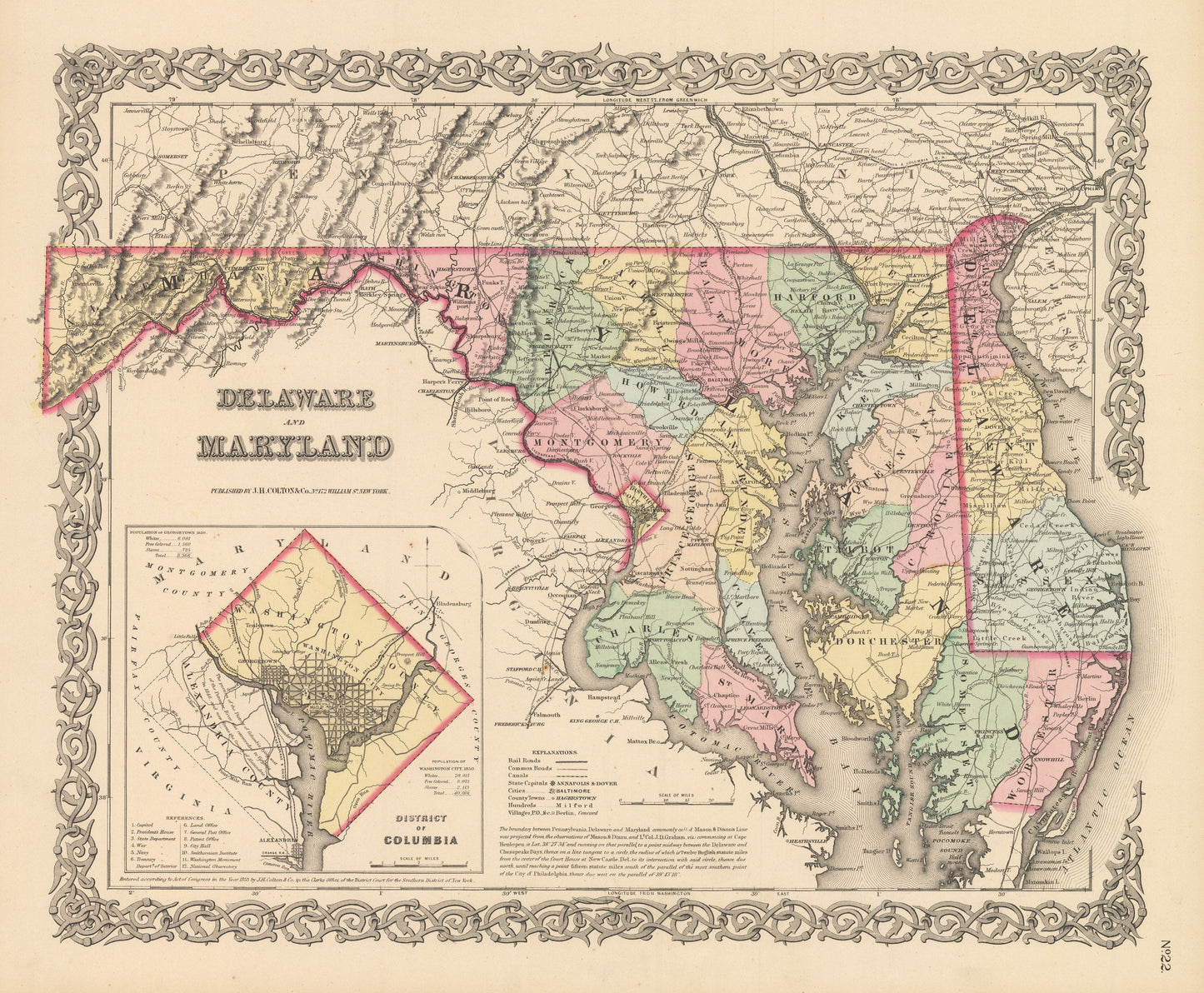
By: Joseph H. Colton
Date of Original: 1856 (published) New York
Original Size: 14 x 17 inches (35.5 x 43.2 cm)
This is a fine print reproduction of a map of Maryland and Delaware, published by Joseph H. Colton out of New York in 1856. The map is color coded by county and shows railroads, common roads, rivers, canals, lakes, ports, large towns and villages of the mid-19th century. Important cities such as Wilmington, Baltimore, Frederick, and Washington D.C. can be found within the map. Included at lower left is an inset of the District of Columbia. Text at the bottom of the map explains the origins of the Mason & Dixon Line.
Inventory #NA121
Share