1
/
av
1
mysite
1856 Virginia
1856 Virginia
Ordinarie pris
£289.00 GBP
Ordinarie pris
£294.00 GBP
Försäljningspris
£289.00 GBP
Skatter ingår.
Frakt beräknas i kassan.
Kvantitet
Det gick inte att ladda hämtningstillgänglighet
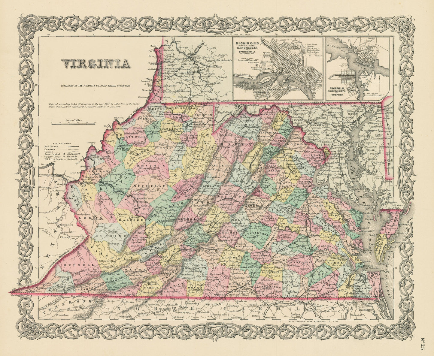
By: Joseph H. Colton
Date of Original: 1856 (published) New York
Original Size: 14 x 17 inches (35.5 x 43.2 cm)
This is a fine print reproduction of a map of New Hampshire, published by Joseph H. Colton out of New York in 1856. The map is color coded and shows railroads, common roads, rivers, canals, mountains, lakes, large towns and villages of the mid-19th century. Additional inset maps show the towns of Richmond, Manchester, and Spring Hill as well as Norfolk, Portsmouth and Gosport. At the time this map was published, West Virginia had not yet?seceded from Virginia. That would officially happen 7 years later in 1863.
Inventory #NA123
Share